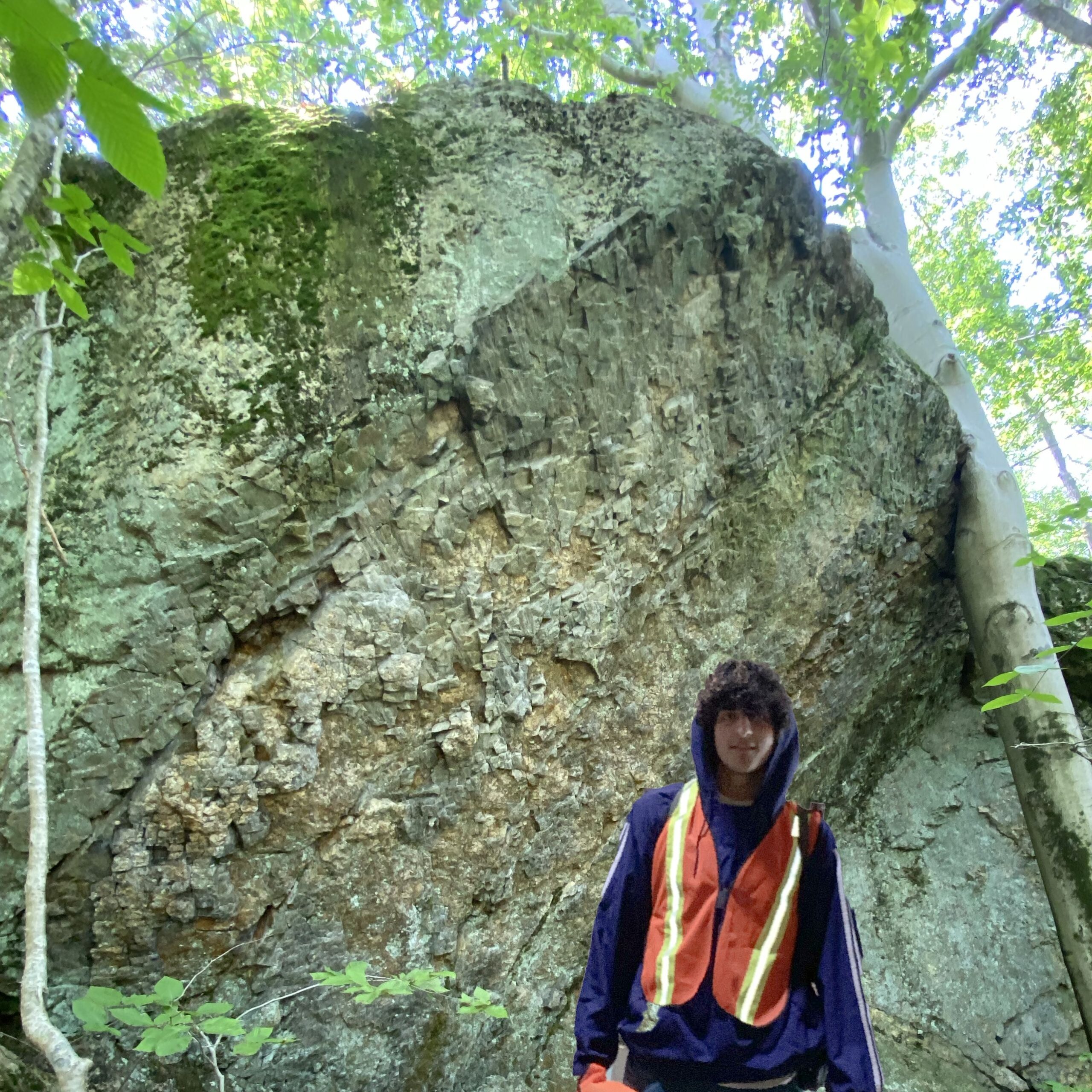
Abstract: Broomstick Ledges (BL) is part of the Northwoods public land preserve. Geologically, this area is in close proximity to the Eastern Border fault (EBf) and sits on the boundary between the sedimentary Hartford basin, part of the Newark supergroup, and the exotic accreted Bronson Hill terrane. At the end of the triassic, the land west of the EBf subsided, creating a rift valley. This failed rifting resulted in the Hartford basin. North of the Hartford Basin, the EBf represents the boundary between low-grade metamorphic rocks and high-grade metamorphic rocks of the Vermont and New Hampshire series respectively. Knowing this, BL is valuable in understanding the metamorphic grade disparity between Western and Eastern Connecticut. Geologic field mapping was conducted to characterize the main rock types of the region.The four main rock types were pegmatite, two-mica quartz schist, banded biotite quartz hornblende magnetite schist, and biotite quartz magnetic schist. The predominant strike direction is ~20-200 NE to SW. Field samples were powdered and pressed pellets were prepared for x-ray fluorescence (XRF) analysis to determine trace element content and genetic relationships of sampled rocks. Additionally, we conducted the first radiation survey of this area, measuring ionizing radiation produced by decaying U, Th, and K isotopes. This new mapping helps to clarify local bedrock geology and will be expanded to inform Connecticut tectonic history.
Video:
Live Poster Session:
Thursday, July 29th 1:15-2:30pm EDT


